
Location
Beside the park, above the strait.
Admiralty Park is a five-minute walk from the gate, the Woodlands Waterfront a short drive, and two MRT lines are within reach of the estate.
On the map
20 to 48 Woodlands Drive 16, Singapore. Map data © OpenStreetMap contributors.
By train
Two lines, and a third crossing on the way
- NS10
Admiralty
About 12 minutes by bus, or a 15-minute walk through the estate.
North South Line
- TE3
Woodlands South
About 8 minutes by bus along Woodlands Drive 16.
Thomson–East Coast Line
- NS9 · TE2
Woodlands
Regional interchange at Causeway Point, roughly 10 minutes by car.
Interchange — NS9 / TE2
Nearby
What is within reach
Woodlands has filled out considerably since the estate was built — a hospital campus, a second MRT line, and the north's largest nature-play park all arrived within walking or driving distance.
Green
-
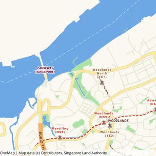 3.0 km
Admiralty Park
Singapore's largest nature-play park — 27 slides across three play zones, plus a secondary forest and a mangrove boardwalk.
-
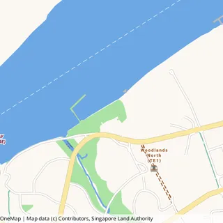 3.1 km
Woodlands Waterfront Park
A kilometre-long promenade along the Johor Strait, with a jetty, fitness stations and the best sunset in the north.
Shops
-
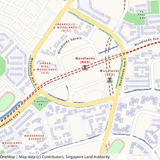 1.6 km
Causeway Point & Woodlands Civic Centre
The north's main mall, above Woodlands MRT interchange — supermarkets, cinema, clinics and the regional library.
-
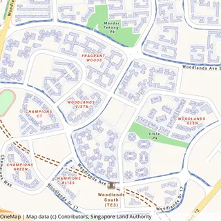 650 m
650 mVista Point
Everyday errands close to home: supermarket, food court, clinic, hairdresser.
Schools
-
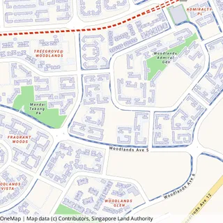 400 m
400 mWoodlands Ring Primary School
The closest school to the estate, a short walk along Woodlands Ring Road.
-
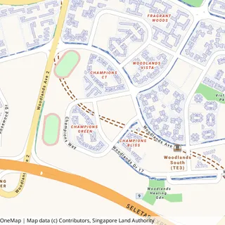 1.0 km
Innova Primary School
On Woodlands Drive 17, beside the health campus.
-
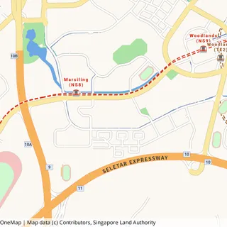 2.4 km
Woodlands Ring Secondary School
Currently on Woodlands Avenue 1. A new campus is under construction on Woodlands Ring Road, far closer to the estate.
-
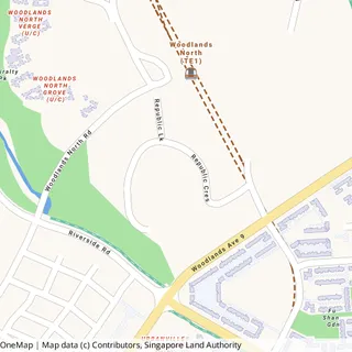 2.1 km
Republic Polytechnic
A full campus on Woodlands Avenue 9, north of the estate.
-
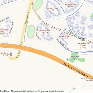 1.3 km
Singapore Sports School
The national specialist sports academy, on Champions Way.
Health
-
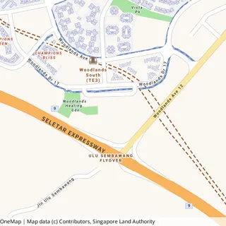 1.0 km
Woodlands Health Campus
A full acute hospital, community hospital and long-term care facility on Woodlands Drive 17.
Beyond
-
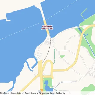 3.6 km
Woodlands Checkpoint
The Causeway crossing into Johor Bahru, and the coming Rapid Transit System link at Woodlands North.
Distances are straight-line from the estate, not walking or driving routes, so the real journey is longer. Thumbnails and coordinates come from OneMap, © Singapore Land Authority. Admiralty Park is large and OneMap records a single point near its northern end — its nearest edge is much closer than the figure shown.